
2013/04/11
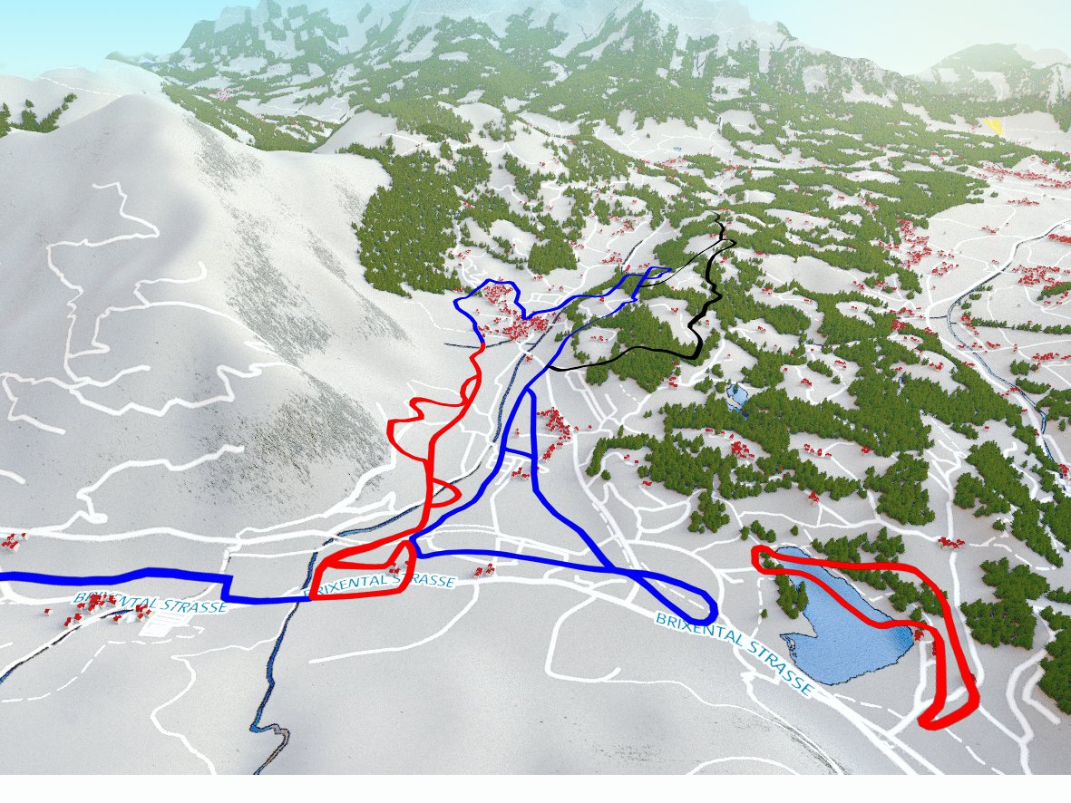
Together with absolutGPS I've realised a 3D visualisiation of cross-country ski-tracks around "Reith bei Kitzbühel" with the 3D-Software Blender. The geographical data was taken from OpenStreetMap and combined with SRTM digital elevation data to create the landscape.